
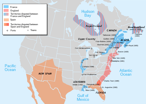
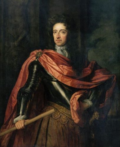
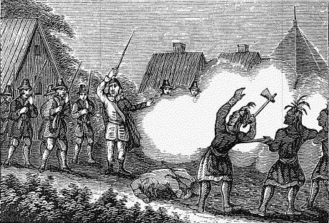
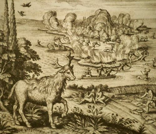
Direct French-led hostilities in North America began once again when the commanding officer at Louisbourg, Louis Du Pont Duchambon, attacked the nearest British fishing post at Canso with several hundred St John’s and Cape Sable Indians. Louisbourg was at that time the most important French fortification in North America. The French burned the port and its outbuildings to the ground and took 50 English families back to Louisbourg as captives. These were soon paroled and released to Boston because the fort lacked the resources to support them.
The French also made two assaults on the English-held Port Royal, also with support from the Cape Sable and St. John Indians. However, the Governor of Massachusetts was able to send sufficient reinforcements to head these off.
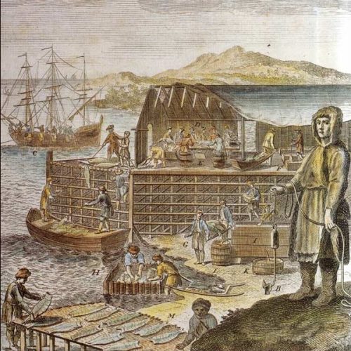
French privateers then began wreaking havoc on English fishing and merchant activities from the Grand Banks to the West Indies in the spring and early summer of 1744. Working out of Louisbourg, Martinique, and Guadalupe, they effectively bottled up the East Coast until late June. This assault ended when the New England colonies organized their own group of privateers, with support from the Massachusetts warship Prince of Orange. The seas were cleared of the French menace by fifteen privateers from Massachusetts, twenty-three from Rhode Island, and eight from Pennsylvania.
Siege of Louisbourg
The captives released from Louisbourg brought extensive information about the garrison’s strength and defenses. They had noted that the once formidable stone walls and bastions of the fort were crumbling into disrepair. The war in Europe had disrupted the regular flow of supplies, and the soldiers and townspeople were hungry, ragged, and on the verge of mutiny.
Governor Shirley of Massachusetts eagerly welcomed this information and recognized an opportunity to attack the French stronghold before reinforcements could reach them. On January 9, 1644, he suggested to the Massachusetts General Court that they seize Louisbourg. Considering the cost of such an endeavor, the Court first declined, but a coalition of North Shore merchants got the Court to reconsider by a narrow margin on January 26.
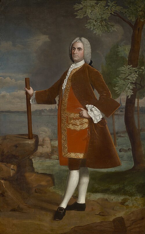
Colonel William Pepperrell of Kittery, who had long led the province’s militia, was given command of the expedition with the rank of Lieutenant General. Roger Wolcott of Connecticut was made second in command, with the rank of Major General, and Samuel Waldo was made third in command, with the rank of Colonel.
About 270 of the Germans at Waldo’s Broad Bay colony decided to join the newly founded militia. This seemed to them a better alternative than facing another dreadful winter at Broad Bay, particularly since they remained in debt to Waldo and Zouberbuhler for their ocean passage.
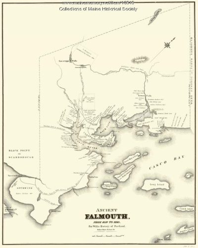
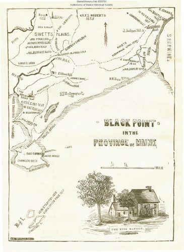
Governor Shirley sent letters to the Governors of the other New England states asking them to help man the army and support it. Massachusetts wound up providing 3,300 men, of which over a third came from Maine —five hundred from Falmouth alone. New Hampshire sent 304 men, and Connecticut sent 516. Rhode Island also provided 150 men, but they did not arrive on time to join the expedition. New York, Pennsylvania, and New Jersey promised financial help but no soldiers. The various New England colonies also provided more than 100 ships to serve as transports for the expedition. Most of them were fishing boats that had been dock-bound in fear of the French privateers. Massachusetts hired them and insured their owners against any losses.
Governor Shirley asked Commodore Peter Warren of the Royal Navy for support, who, after receiving confirming orders from his superiors, sent three warships into the waters off Nova Scotia. the Superbe of 240 guns and the Mermaid and Launceston, each with 40 guns.
On March 24, 1745, the whole expedition force set off from Nantasket Roads, Massachusetts. After regrouping at Booth Bay, they headed to Canso and arrived in the first week of April. There, they cooled their heels for three weeks, fog-bound, waiting for the arrival of cannon from New York and the ice surrounding Louisburg to dissipate. Warren joined them there with his three ships.
On March 30, Pepperell landed his forces at Gabarous Bay south of the fortress. After offering only minimal resistance, Louisbourg’s commander, Duchambon, hastily withdrew into the city’s fortified walls, abandoning a heavily fortified outwork called the Grand Battery. Seizing the opportunity, the English turned these guns against the city and opened fire. Over the next six weeks, Pepperell and his forces ringed the city to suffocate it. An attempt at reinforcement failed when the English fleets intercepted a French ship of the line Vigilant, loaded with supplies and soldiers. Finally, on June 16th, 1745, Duchambon surrendered, “isolated, faced with mounting discontent and dwindling stocks of provisions and gunpowder” (Decker, 2015, p. 90).
The news of this victory filled New England with joy and celebration, while Europe was flabbergasted. The British would take great pains to credit the Royal Navy for this victory and downplay the role of the American army. “The victory gave a fresh impulse to the jealousies, entertained in the mother country, that such events would hasten the independence of the Colonies” (Willimston, 1889, p. 233).
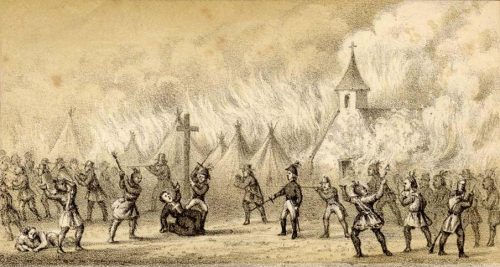
Illustration: The landing of troops from New England on the island of Cape Breton to attack Louisbourg, Archives anglaises, F. Steven. Wikimedia Commons.
Bibliography
Burrage, H. S. (1914). The beginnings of colonial Maine 1602-1658. Marks Printing House. p. 10.
Conrad, M. R. and J. K. Hiller (2010) Atlantic Canada: A History, Oxford, second edition,
Dekker, M. (2015) French & Indian Wars in Maine. The History Press. Charleston, South Carolina.
Williamson, W. D. (1889) The history of the state of Maine: From its first discovery in A.D. 1602 to the separation, A.D. 1820, exclusive. Glazers, Masters, and Smith,
Willis, W. (1833) The history of Portland from its first settlement with notices of the neighboring towns and of the changes of government in Maine. Part II – from 1700 to 1833.Charles Day & Co … Printers: Portland.


